Opendatasoft holds an OpenStreetMap ‘mapping party’ in the towns of Le Pouliguen and La Baule-Escoublac
Every year, Opendatasoft employees leave their offices in Nantes, Paris and Boston for an off-site away day. This year, they visited the town of Le Pouliguen in western France and spent an afternoon contributing to the OpenStreetMap project. Find out more in this article.

Geographic data is essential for living in and understanding the world around us. It enables us to map and analyze our surroundings and see how they are evolving over time. OpenStreetMap (OSM) is a collaborative online mapping project that makes it easy to increase and share geographic data by enabling anyone to simply update it with relevant information..
Every year, Opendatasoft employees leave their offices in Nantes, Paris and Boston for an off-site away day. This year, they visited the town of Le Pouliguen in western France and spent an afternoon contributing to the OpenStreetMap project. Find out more in this article.
Geographical data: key information for creating value
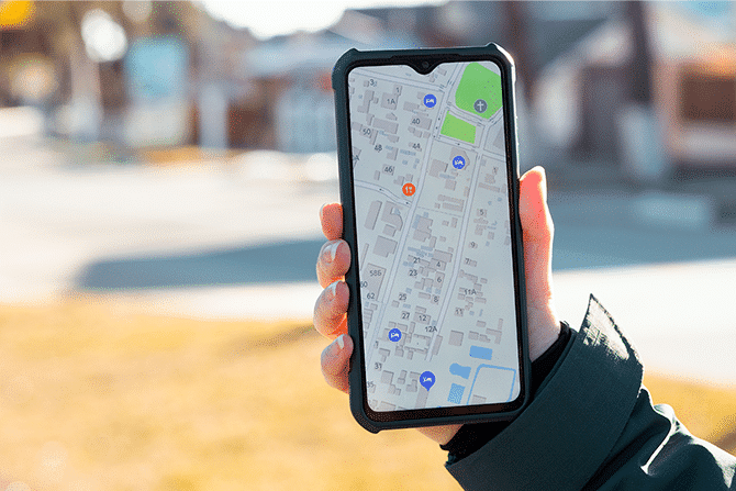
With the widespread use of mobile devices, geographic information is multiplying and becoming increasingly accessible.
Organized on a map, this data can be structured and analyzed, enabling local authorities and municipalities to improve the services they offer to citizens and maximize the attractiveness of their area to business, tourists and residents. Companies can also use geographic information to optimize their operations and identify new trends. Citizens can access information and find their way around more easily thanks to today’s mapping tools.
Ensuring information is as accurate and detailed as possible is essential to driving usage. That makes it vital that as many people as possible contribute to the creation and sharing of geographic data.
OpenStreetMap: a collaborative map to grow the use of geographic data
OpenStreetMap (OSM) is an open, collaborative geographic database, with more than 1.5 million contributors involved in adding new geographic data globally. It is the world’s largest free geographic database, offering a wide range of information on public spaces, and mapping our ever-changing environment..
As with Wikipedia, users can contribute to the creation of interactive or static maps. They can collect data in multiple ways, from manual surveys and personal knowledge, to using GPS via the OSM website.
Opendatasoft and OpenStreetMap
Many Opendatasoft employees already contribute to OpenStreetMap, and our links with this collaborative mapping tool extend to our platform, since our maps use OSM-based libraries.
Opendatasoft contributes to OpenStreetMap in Le Pouliguen and La Baule-Escoublac
As part of the 2023 Opendatasoft off-site, our team visited the towns of Le Pouliguen and La Baule-Escoublac. They are part of the Cap Atlantique urban community, are located in the Loire-Atlantique department, and in the Pays de la Loire region – all three of which are Opendatasoft customers.
Opendatasoft’s mission is to democratize data and to achieve this, we need quality data. Bringing our mission to life, more than 100 Opendatasoft employees spent over 2 hours criss-crossing the area to contribute new information and improve existing points on OpenStreetMap. We covered an area that included the port, beach and residential areas. As a result, our employees have filled in a wide range of information, from the characteristics of street furniture, buildings and houses, to information on shops, transport and accessibility for people with disabilities.

Over 1,600 items were created, modified or improved by the teams.

At Opendatasoft we are used to making data reuse as simple as possible with our data portal solution. Collecting data and checking its quality are key foundations for data democratization and must be carried out collaboratively to guarantee accuracy. Our OSM project enabled us to support our data democratization objectives, delivering immediately visible results around an area administered by our customers. I hope this will inspire other organizations to do the same. I have no doubt that many Opendatasoft employees will continue to contribute individually to OSM in the future."
The Opendatasoft team is proud to have been involved in creating new, quality data for reuse and sharing.


